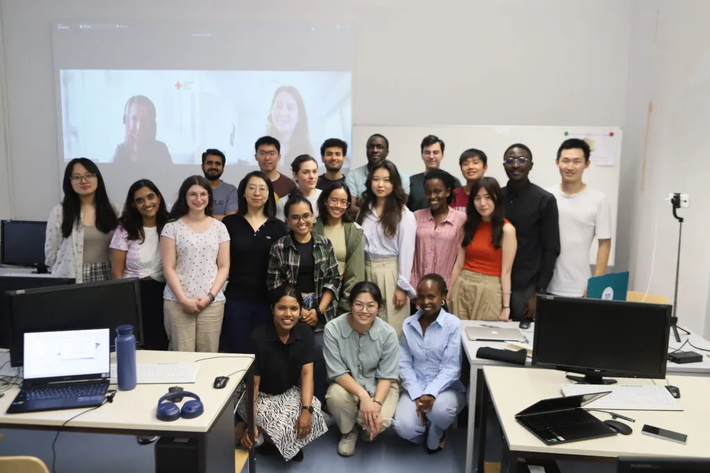
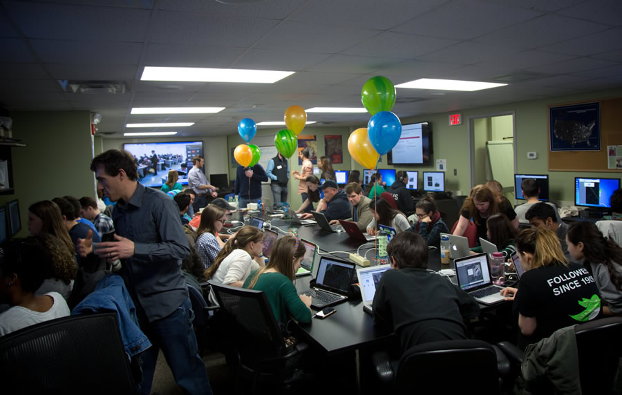
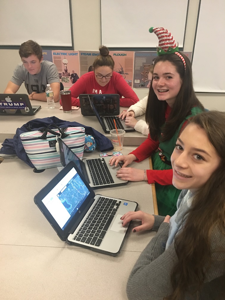
aboutOSMContentaboutOSMContentaboutOSMContent NOTE: This website is still a work in progress, please check back. aboutOSMContentaboutOSMContentaboutOSMContent NOTE: This website is still a work in progress, please check back.
Education & Research

Mapping knowledge for a brighter future.

Explore how OpenStreetMap supports learning, academic research, and innovation—empowering students, educators, and researchers with open geospatial data.

The Map for Learning and Discovery

What This Means

In classrooms, laboratories, and research institutions worldwide, accurate geospatial data is essential for analysis, experimentation, and problem-solving. OpenStreetMap provides freely accessible, community-driven map data that supports academic projects, spatial analysis, environmental studies, urban planning research, and innovative geospatial applications. It enables learners and researchers to contribute, collaborate, and build real-world solutions using open data.

How OSM supports Education and Research

Youth Mappers Unite for a Good Cause

Youth Mappers network, a global student mapping movement using OpenStreetMap to support international development projects. University students from places like the U.S. and Bangladesh collaborate to create basemaps of under-mapped regions. These maps are used by USAID for planning food security, disease prevention, disaster response, and more, while students gain GIS and real-world problem-solving experience.

Youth Mappers Unite for a Good Cause

OpenStreetMap Education in High School

TeachOSM provides curriculum modules that enable teachers to incorporate OpenStreetMap into geography classes. AP Human Geography students participate in “mapathon” projects that tie into their coursework one class mapped farm-to-market roads in Guatemala on OSM to learn about rural economies.

OpenStreetMap Education in High School

Volunteer at Home: Make Digital Maps

The Red Cross initiative invited volunteers to contribute to OpenStreetMap from home to help humanitarian response. Through the Missing Maps project, volunteers used OSM’s Tasking Manager to trace buildings and roads in under-mapped regions, improving disaster preparedness, vaccine campaigns, and emergency planning by providing open geographic data to responders.

Volunteer at Home: Make Digital Maps

How you can contribute

You don't need a cape or a degree to save lives—just a mouse and a little heart .❤️

Join the HOT Tasking Manager

Help map areas in crisis and support real-time response.

Get Started

Learn mapping with LearnOSM

Step-by-step guides for beginner to expert.

Get Started

Donate to Humanitarian OSM Team (HOT)

Support mapping for disaster response worldwide.

Learn More