A Global Effort to Unleash Local Data: How Open Mapping is Shaping Grassroots Climate Resilience Worldwide
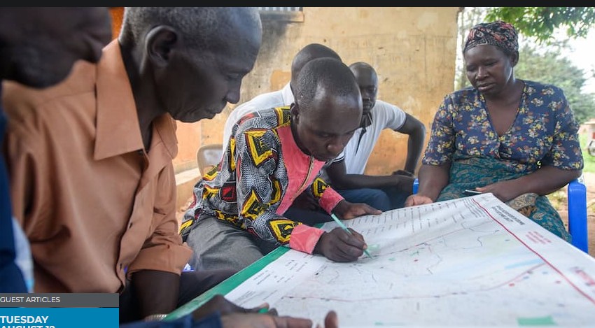
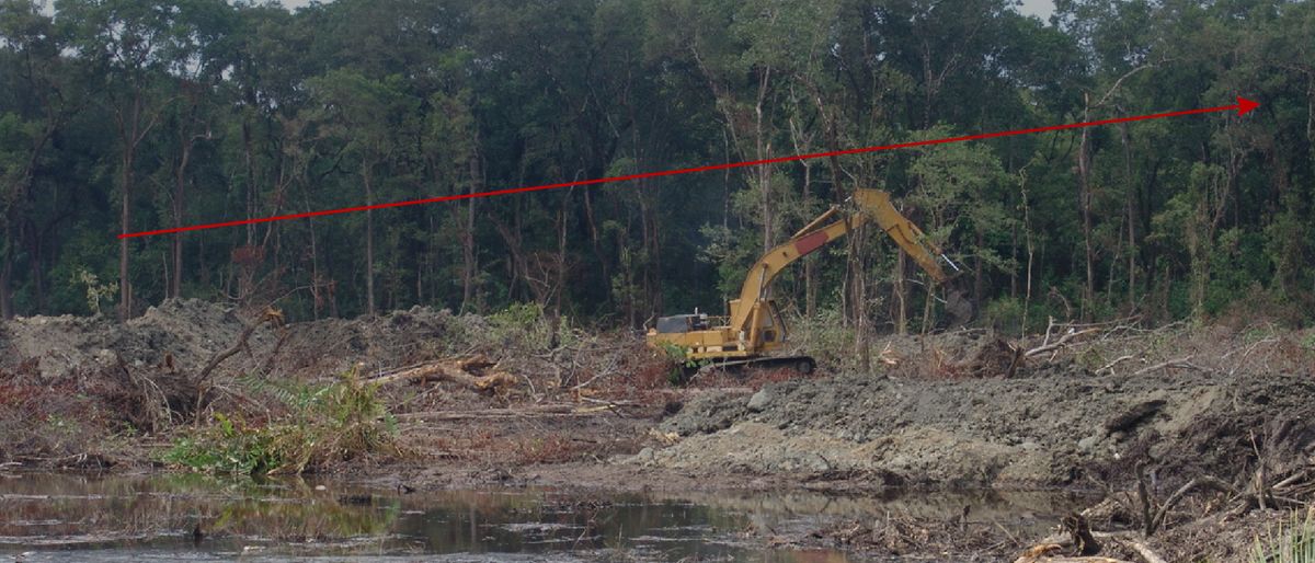
The Humanitarian OpenStreetMap Team uses OSM to support communities in mapping flood-prone areas, tracking deforestation, and building climate resilience. In Malawi in 2022, OSM communities mapped critical infrastructure damaged by Tropical Storm Ana and Cyclone Gombe to guide disaster recovery. In Ecuador in 2023, HOT coordinated with the national Risk Management Secretariat to map high-risk flooding areas ahead of the El Nino climate phenomenon.